
Loading

Search
▼ Mount Tarumae
- Category:Mountain
JAPAN TRAVEL
An active volcano in Shikotsu-Toya National Park
Mount Tarumae is an active stratovolcano in Hokkaido’s Shikotsu-Toya National Park. It was formed by an eruption in the Shikotsu caldera roughly 9,000 years ago, followed by a cave-in that created today’s crater.
How to get there
Mount Tarumae makes for a nice day trip from Chitose or Sapporo. Although not accessible by public transport directly, buses from Chitose take hikers as far as Lake Shikotsu. As there are only 4-6 buses a day (depending on the season), it is highly advised to check bus schedules in advance. From the Lake Shikotsu visitor center, the taxi ride to Mount Tarumae’s trailhead takes 30 minutes, which amounted to ¥2800 (one way) in the summer of 2016.

Lake Shikotsu is also the last stop to stock up on drinking water. While there is a basic bathroom at the trailhead, there are no vending machines or any other kind of infrastructure. The last section of the road leading to the parking lot is unpaved, but still easily accessible by regular, non 4-wheel drive cars.
Climbing Mount Tarumae
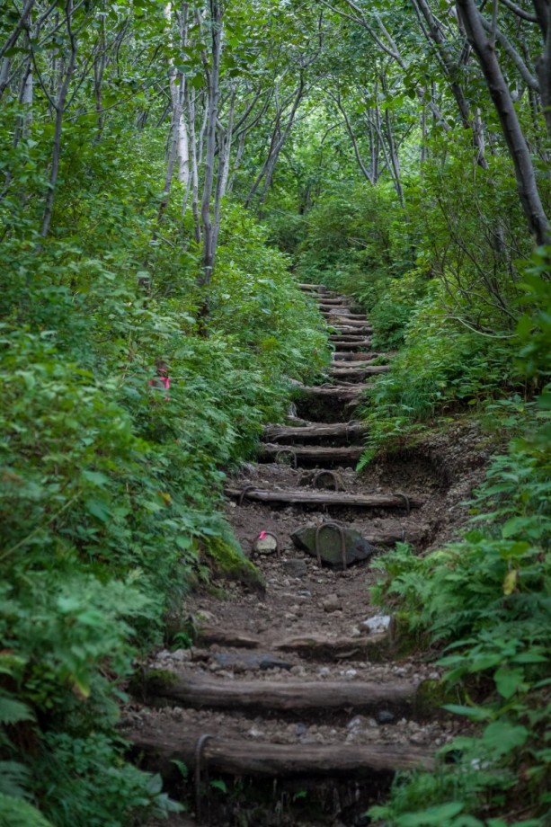
From the parking lot at the seventh station (650 m above sea level), the hike to the summit takes reasonably fit people less than an hour. Despite its short length, the steep ascent is not to be mistaken for an easy walk, leading first over uneven stairs and then through the open volcanic landscape. Hiking boots are a must, and hiking sticks prove helpful on the slippery gravel when descending. Though not as high as elsewhere in Hokkaido, there is still a risk of brown bear encounters. The visitor center at Lake Shikotsu has information about recent sightings in the area, and wearing a bear bell reduces the risk of unwanted (and dangerous) chance encounters.
Climbing Mount Tarumae
From the parking lot at the seventh station (650 m above sea level), the hike to the summit takes reasonably fit people less than an hour. Despite its short length, the steep ascent is not to be mistaken for an easy walk, leading first over uneven stairs and then through the open volcanic landscape. Hiking boots are a must, and hiking sticks prove helpful on the slippery gravel when descending. Though not as high as elsewhere in Hokkaido, there is still a risk of brown bear encounters. The visitor center at Lake Shikotsu has information about recent sightings in the area, and wearing a bear bell reduces the risk of unwanted (and dangerous) chance encounters.

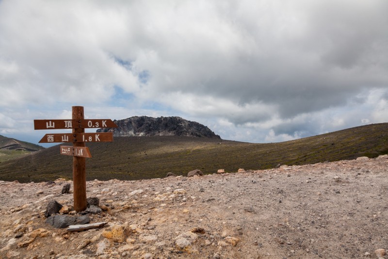
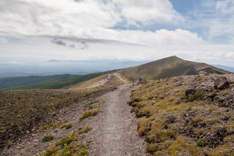
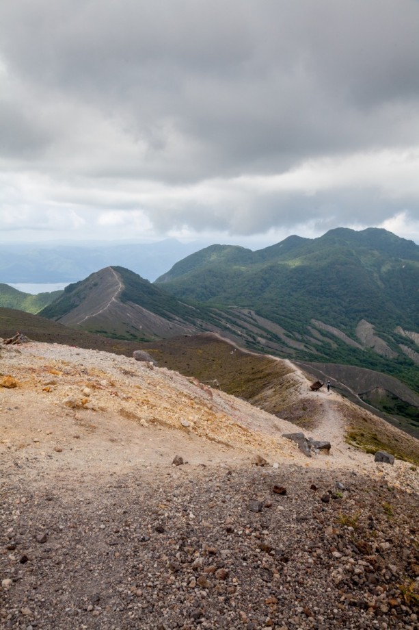
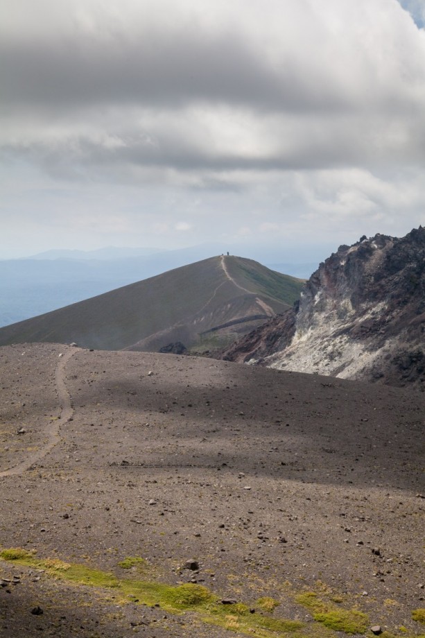
After leaving the treeline behind, the path continues up Mount Tarumae’s eastern flank before reaching the crater edge. Here, the path splits up, leading all the way around the crater in 2-3 hours. To the right is Higashi-dake, the conical volcano’s eastern and highest peak (1041 m).
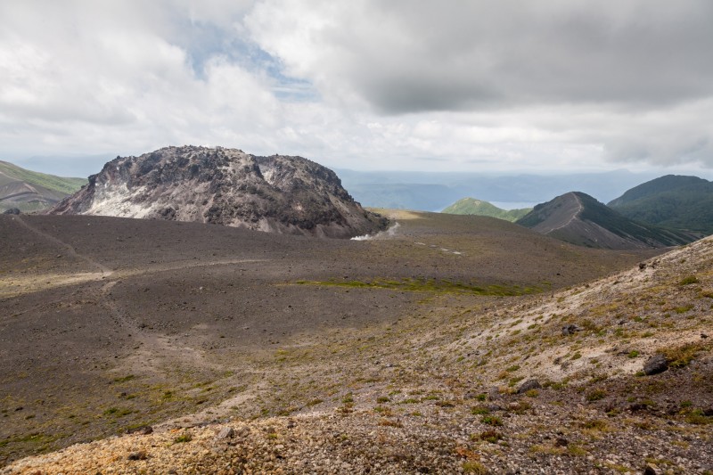
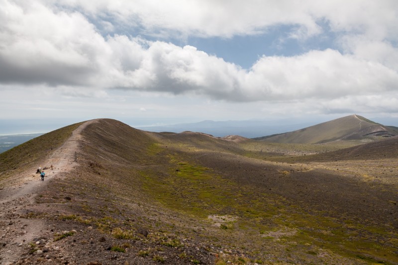
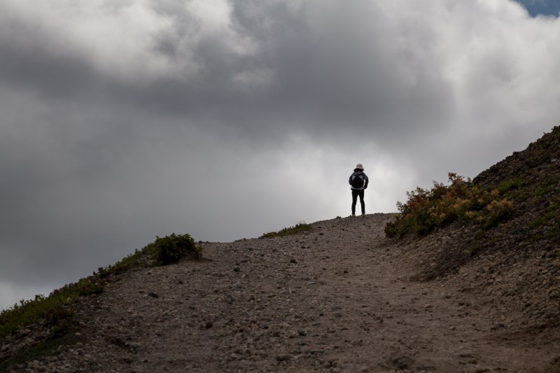
Walking around the crater, hikers can enjoy a beautiful panorama of Shikotsu-Toya National Park, with superb views of Lake Shikotsu from the rim. Inside the caldera is the unique lava dome of Mount Tarumae, created by an eruption in 1909. The smoke rising up from the unstable lava dome, while impressive to look at, is poisonous and can be life-threatening when inhaled in large portions. It is highly advised not to leave the easily visible path circling the crater to get a closer look at the dome - Mount Tarumae’s latest eruption was in 1981, and the volcano is still very active.
Mount Tarumae can be climbed from spring to fall, and apart from transportation costs, access to the volcano is free.
By Anne Lauenroth
By Anne Lauenroth
- September 28, 2016
- Comment (0)
- Trackback(0)